
GeoServer
Serve geospatial data for mapping applications
Description
GeoServer acts as a powerful backend for serving geospatial data to web and desktop mapping applications. It provides reliable access to spatial information through standard protocols, enabling real-time data sharing and updates. Optimized for Mac and Linux platforms, it is widely used in projects requiring dynamic map generation, such as traffic monitoring or land use planning, ensuring that stakeholders have access to accurate, up-to-date geographic insights.
Screenshots
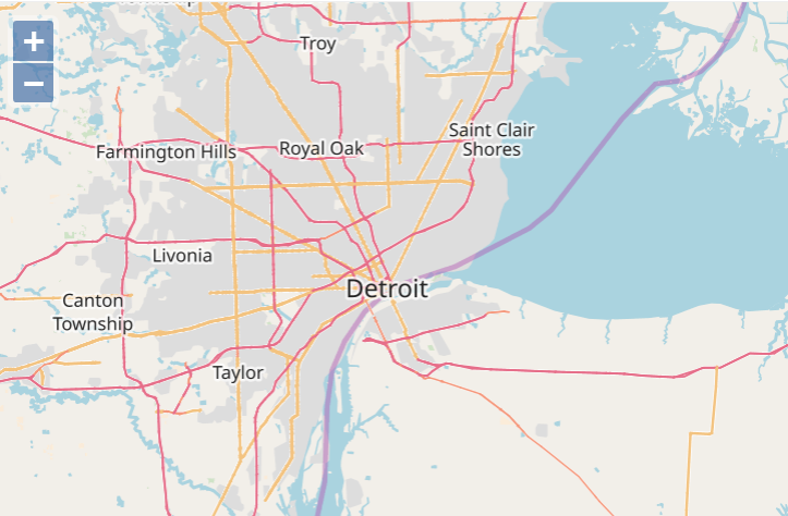
Click to view full size