
Panoply
Analyze array data with NASA software
Description
Leverage Panoply, NASA's application, to analyze and plot array-structured data from sources like netCDF or HDF. It specializes in geo-gridded raster imagery, offering tools for data interpolation, subsetting, and multi-format support. Whether for climate studies or academic projects, Panoply streamlines visualization workflows, helping users uncover patterns and share findings through high-quality graphics, all in a no-cost package backed by scientific expertise.
Screenshots
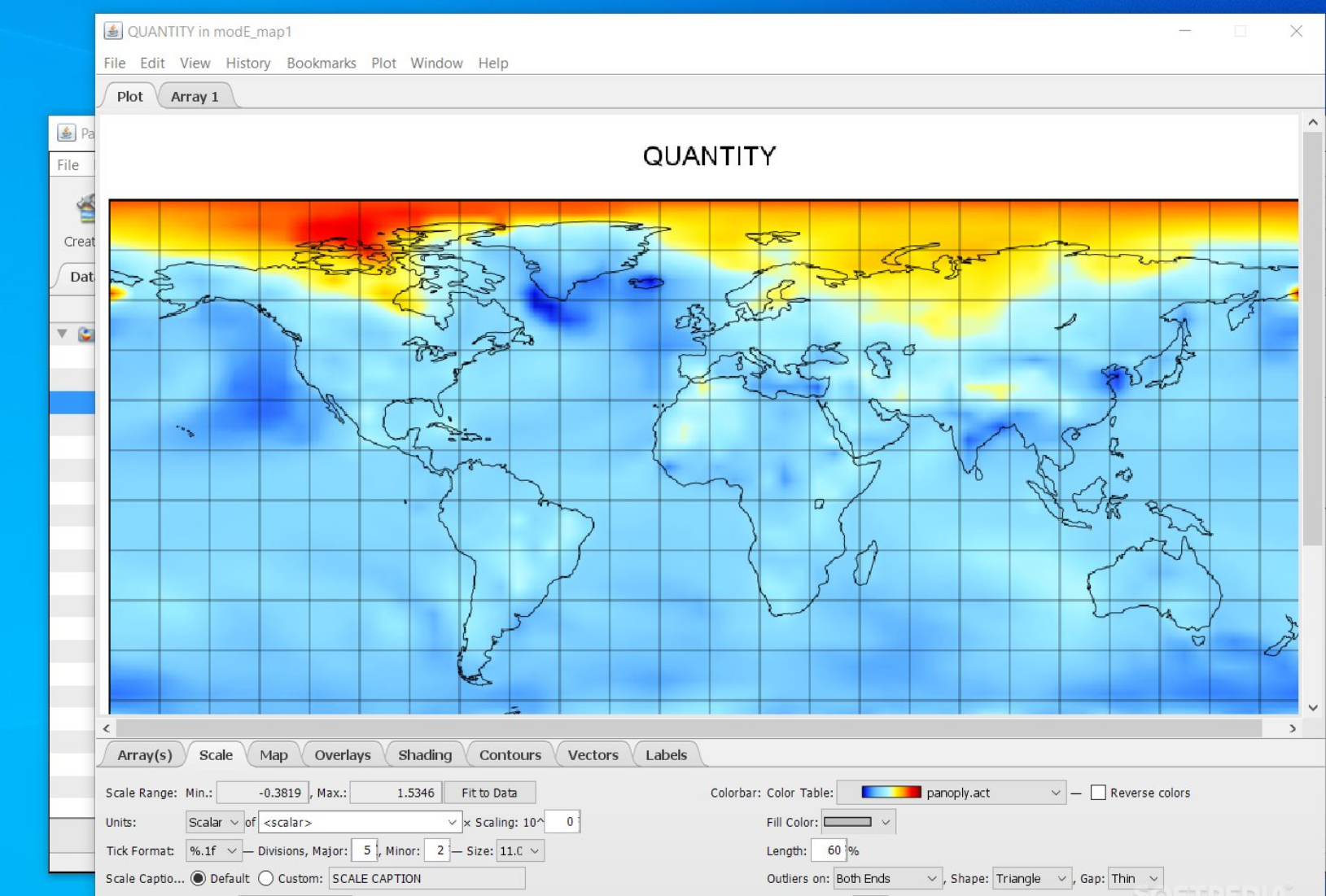
Click to view full size