
Java Graticule 3D
Cross-platform tool for 3D geographic visualization
Description
Experience enhanced geodetic analysis with Java Graticule 3D, a versatile application that delivers powerful 3D earth and map visualization tools. It facilitates geodetic network estimation, coordinate transformations, and spatial data management through a user-friendly interface. Running smoothly on Mac and Linux, this software aids professionals in surveying, geology, and geography by providing accurate, real-time 3D representations of geodetic structures and terrains.
Screenshots
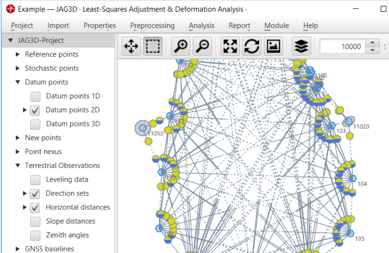
Click to view full size