
GeoRefImg
Support for many raster filetypes in AutoCAD
Description
GeoRefImg breaks down compatibility barriers by bringing robust georeferencing capabilities for numerous raster formats into standard AutoCAD. Whether your source is a TIFF, JPEG, PNG, or other common image type, you can import and spatially align it with ease. The tool focuses on setting custom geographic extents and positions, turning simple images into scaled, positioned references. This workflow integrates raster data directly into your CAD environment, creating a unified and spatially correct workspace for more informed design decisions.
Screenshots
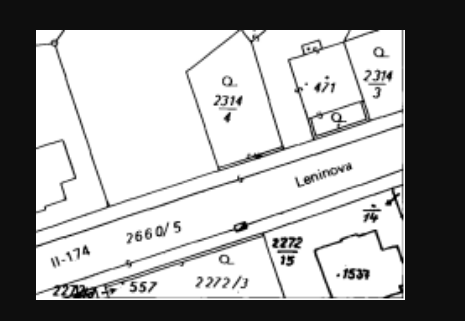
Click to view full size