
OpenCPN
Navigate using integrated charts and GPS
Description
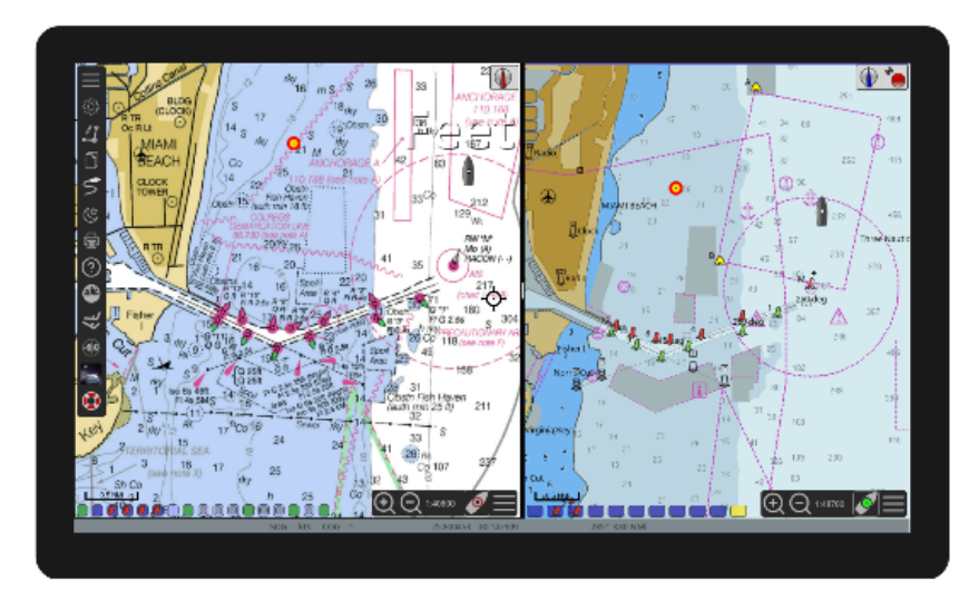
OpenCPN merges detailed nautical charting with real-time GPS navigation in one efficient software package. Sailors can plot new courses directly on the chart interface and have their vessel's position updated live. This integration ensures you always know where you are in relation to your planned route and surrounding hazards. The application is designed to be a robust, cost-effective alternative to dedicated hardware plotters.
Screenshots
Click to view full size