
Description
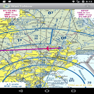
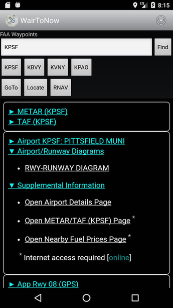
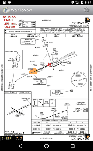
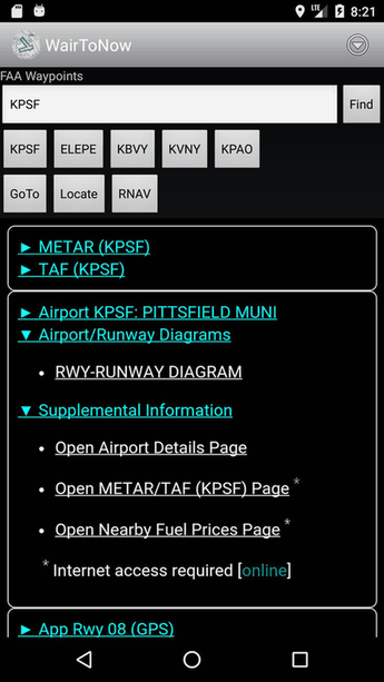
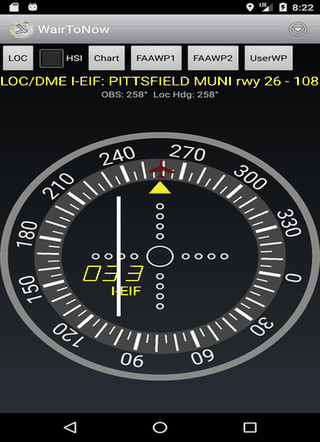
This open-source app provides geo-referenced aviation maps, including US airport diagrams, approach plates, and navigation charts. It also features runway diagrams and customizable DME displays, using OpenStreetMap for nearby navigation. Perfect for pilots seeking detailed, accessible flight resources.
Screenshots
Click to view full size
Click to view full size
Click to view full size
Click to view full size
Click to view full size
Click to view full size